The Council has released their proposals for the Liveable Neighbourhood, and they are exciting! We’ve placed everything on a single map so you can see how the different pieces fit together. Toggle the layers on and off to see how the proposals fit together. Tap or click each element to learn more about it and get links to the Council's suggested change and a Street View of the area today. Choose a normal or satellite map view.
Key proposals
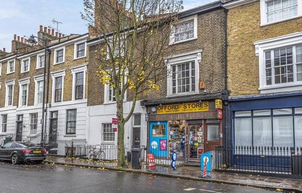
- Helping local shops by improving crossings, adding greenery/seating/cycle parking, etc.
- Fixing some historic traffic filters to accomodate mobility scooters and cargo cycles.
- Reserving most roads in the Barnsbury & Laycock area for local traffic.
- Improving the roads where through traffic remains with e.g. better pedestrian crossings.
The plans would be transformational for Barnsbury & Laycock. We encourage you to visit the Council's website and take their survey. Let them know how you use these streets, why the proposed changes will help you, and what you’d like to see on your road.
Example feedback
Feedback is most helpful if it’s supportive and specific. Here are some examples of useful feedback:
- “The tree on the eastern end of Richmond Ave makes the south pavement really difficult to use with a pram or mobility scooter. It would be wonderful to fix this issue, which complicates access to the businesses along Liverpool Road.”
- “Fixing historic filters would help me a great deal. Please note, however, that the fire gate on College Cross isn’t on the Council’s list of filters to improve. I can't get through it on my cargo bike either.”
- “A parklet with some seating, greenery and bike parking would be a big improvement for the restaurants on Theberton Street.”
- “I live on Liverpool Road. Upgraded crossings and better enforcement of the lorry ban would be very welcome improvements. Ultimately, however, I also want the benefits of a low-traffic street.”
These plans will enable many more people to get around our neighbourhood without a car, benefiting us all. Together, we can improve Barnsbury & Laycock, continuing the work begun decades ago to remove through traffic from our streets. Join us in supporting this bold vision for a safer, healthier future!